ファイル:Europe location ENG2.png
ナビゲーションに移動
検索に移動

このプレビューのサイズ: 800 × 599 ピクセル。 その他の解像度: 320 × 240 ピクセル | 640 × 479 ピクセル | 1,024 × 767 ピクセル | 1,280 × 959 ピクセル | 1,594 × 1,194 ピクセル。
元のファイル (1,594 × 1,194 ピクセル、ファイルサイズ: 728キロバイト、MIME タイプ: image/png)
| このファイルはウィキメディア・コモンズにあるものです。 ページ・ノートへの記入や履歴などの詳細の確認はコモンズのファイル説明ページ(ノート/履歴/ログ)をご参照ください。 |
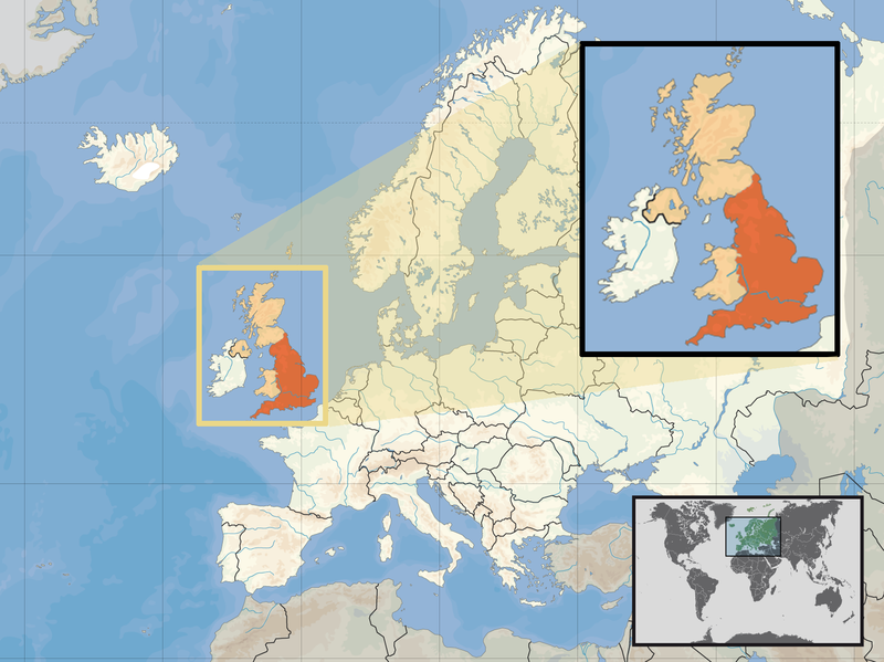
| 解説 | Location of England in the UK and Europe, on terrain map showing surface and underwater contour areas. | |||
| 日付 | ||||
| 原典 | Derived from Wikimedia Commons image of original work forming part of the "Europe location" map series created by David Liuzzo: derived from Image:Europe_location_ENG.png. | |||
| 作者 | uploaded by User:Kmusser (excerpt from User:David_Liuzzo) | |||
| 許可 (ファイルの再利用) |
|
|||
| その他のバージョン |
|


ファイルの履歴
過去の版のファイルを表示するには、その版の日時をクリックしてください。
| 日付と時刻 | サムネイル | 寸法 | 利用者 | コメント | |
|---|---|---|---|---|---|
| 現在の版 | 2011年2月14日 (月) 14:58 | | 1,594 × 1,194 (728キロバイト) | Beao | Removed border. |
| 2008年9月29日 (月) 19:00 |  | 1,600 × 1,200 (792キロバイト) | Kmusser | {{Information |Description= Location of England in the UK and Europe, on terrain map showing surface and underwater contour areas. |Source=Derived from Wikimedia Commons image of original work forming part of the "Europe location" map series c |
ファイルの使用状況
以下のページがこのファイルを使用しています:
グローバルなファイル使用状況
以下に挙げる他のウィキがこの画像を使っています:
- ace.wikipedia.org での使用状況
- ar.wikipedia.org での使用状況
- az.wiktionary.org での使用状況
- bn.wikipedia.org での使用状況
- br.wikipedia.org での使用状況
- cs.wikipedia.org での使用状況
- da.wikipedia.org での使用状況
- dsb.wikipedia.org での使用状況
- dty.wikipedia.org での使用状況
- en.wikipedia.org での使用状況
- es.wikipedia.org での使用状況
- eu.wiktionary.org での使用状況
- ext.wikipedia.org での使用状況
- fiu-vro.wikipedia.org での使用状況
- hr.wikiquote.org での使用状況
- incubator.wikimedia.org での使用状況
- ka.wikipedia.org での使用状況
- my.wikipedia.org での使用状況
- nds-nl.wikipedia.org での使用状況
- nl.wikibooks.org での使用状況
- pam.wikipedia.org での使用状況
- pl.wikipedia.org での使用状況
- pl.wiktionary.org での使用状況
- pnb.wikipedia.org での使用状況
- pt.wiktionary.org での使用状況
- sc.wikipedia.org での使用状況
- shn.wikipedia.org での使用状況
- simple.wikipedia.org での使用状況
- sr.wikipedia.org での使用状況
- sv.wikivoyage.org での使用状況
- vls.wikipedia.org での使用状況
- xmf.wikipedia.org での使用状況
- yo.wikipedia.org での使用状況
- zh.wikinews.org での使用状況